
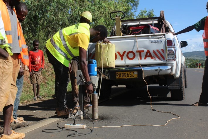
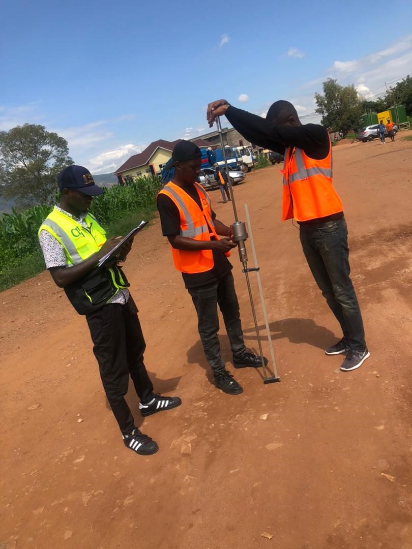
We provides a full range of field investigation and data collection using the most state-of-the-art equipment and software Owned by the Company for civil infrastructure design and supervision. We are able to provide our clients with the most ancient methods of field data collection and layout work in the following areas:
- Topography survey and establishment of Photogrammetric Ground Control (DGPS, Total Station, Dumpy level and GPS)
- Geotechnical investigation and design
- Field investigation and data collection Equipment (DCP, Gamin video, travel speed garget etc.)
- Hydraulic investigation and design (bridge, Box culvert and Pipes culvert)
- Retaining structure (Road works, building and landscaping)
- Geographic Information Systems / GIS Management
- Asset management system (data collection and data management)